Since April 2024, I Don’t Know Where The Wind Blows has examined Europe’s geopolitical, cultural, and environmental borders through embodied movement, situated observation, and layered media narratives. Traveling primarily on foot and bicycle, I have traversed border convergence points including Huningue, Chalampe, Basel, Saarbrücken, and Weil am Rhein in the south, Watou in the west, Vaals, Goch, Enschede, and Nordhorn, and northward to Emden and Borkum. Throughout this journey, I have documented border landscapes through various audiovisual technologies, simultaneously mapped my routes via satellite tools such as Google Earth. This growing archive juxtaposes satellite imagery’s distant, detached perspective with grounded, first-person experiences.
Central to this project is the critical examination of borders as “third spaces”: ambiguous, negotiated zones where geographic, social, cultural, linguistic, and bureaucratic boundaries intersect and remain in perpetual flux. By layering extended video recordings, environmental sounds, and digital maps, my project explores how identities are negotiated at these borders, highlighting their simultaneous roles as rigid controls and fluid spaces of hybridity, affect, and uncertainty.
Digital technologies—satellite imaging, geolocation tracking, interactive audiovisual interfaces, and digital mapping tools—serve as essential perceptual bridges in this project. These technologies provide novel perspectives by making invisible connections visible, integrating macro-level observations with micro-level personal encounters, and offering participatory interaction. They transform the understanding of borders and borders as third spaces by emphasizing their dynamic and performative nature, demonstrating how technology can amplify embodied knowledge and open possibilities for alternative futures within and across contemporary border spaces.
This project is partly funded by Stichting Cultuur Eindhoven.
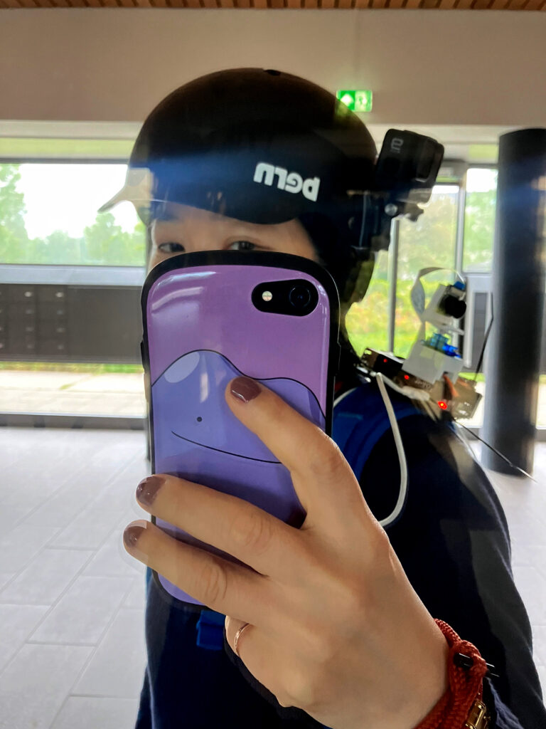
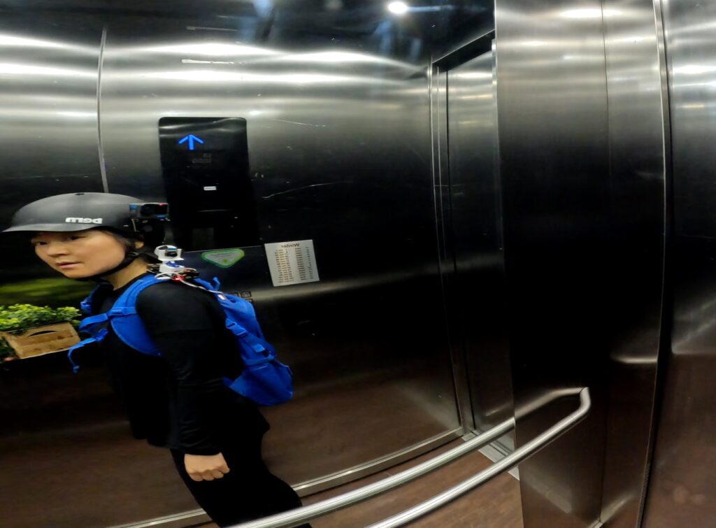
The project incorporates several custom-built and mobile devices: (1) a GoPro mounted on the side of a bicycle helmet, (2) a Raspberry Pi camera module with a motorized rotation system worn on the shoulder, and (3) a drone (not pictured here), used for capturing aerial footage and movement across landscapes. In addition to mobile devices, a stationary camera setup is used for long-term landscape observation. Disguised within a foliage-like enclosure, the device is designed for subtle placement in natural environments and continuous recording over extended periods.

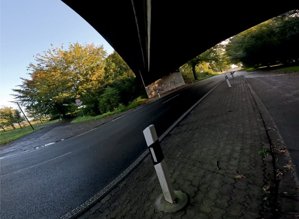
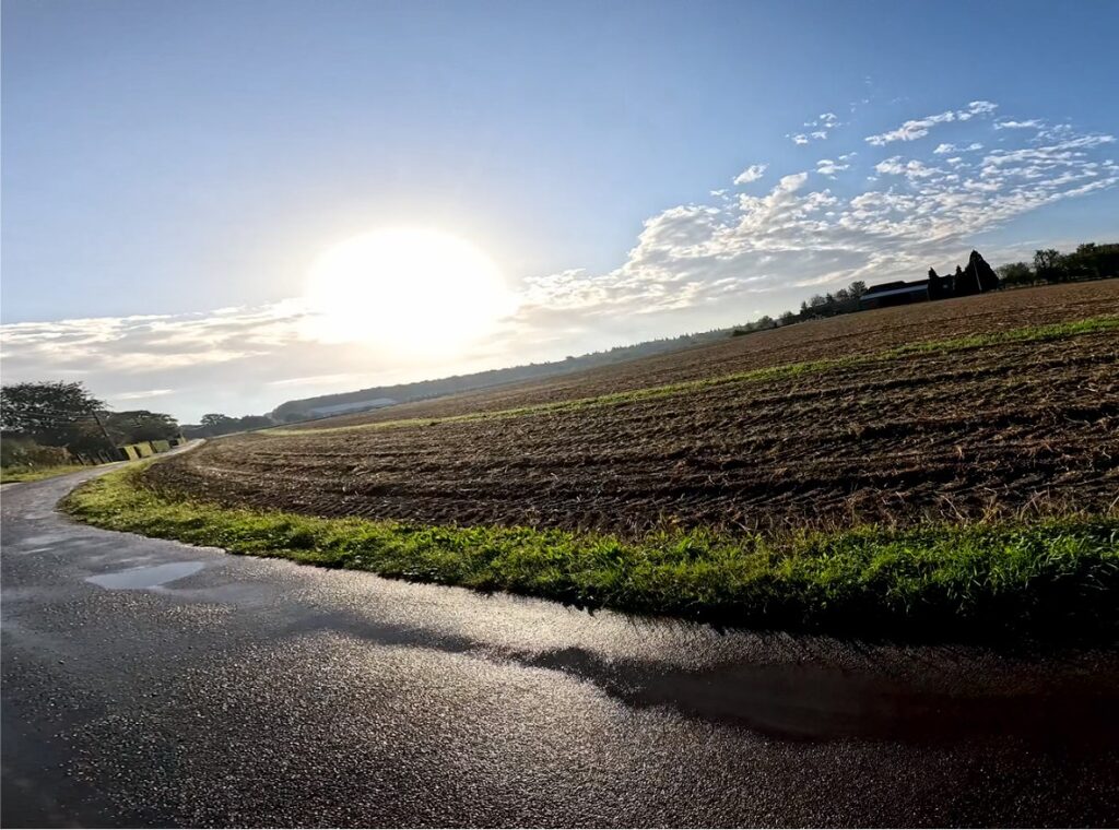
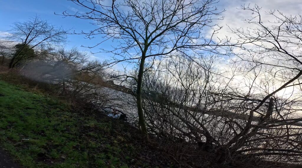
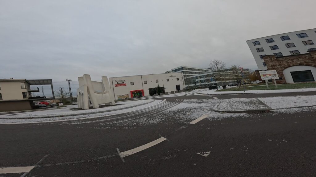
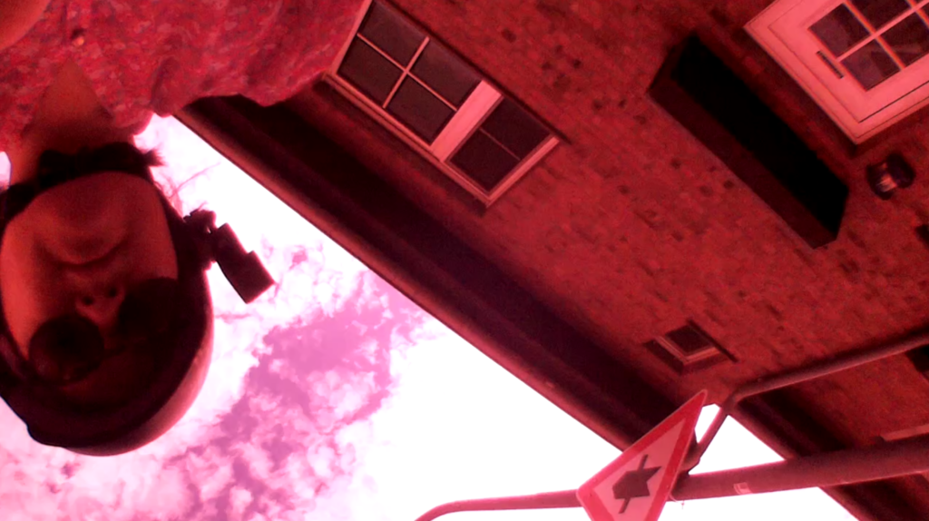
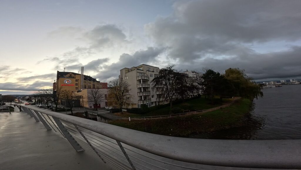
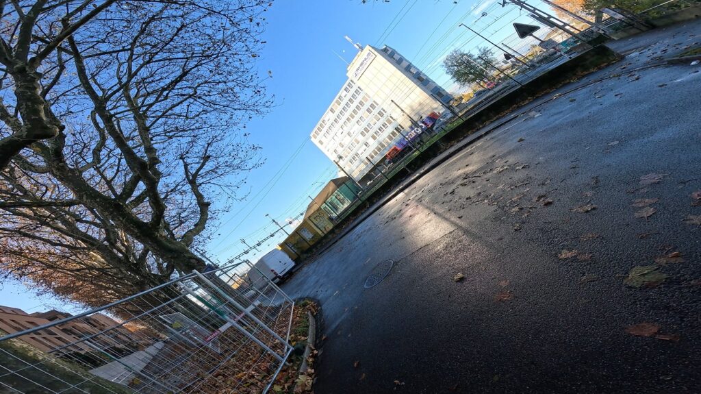
A selection of video stills capturing transborder environments across different seasons and weather conditions. These clips reflect changing atmospheric textures, vegetation, and light across the same or adjacent locations.
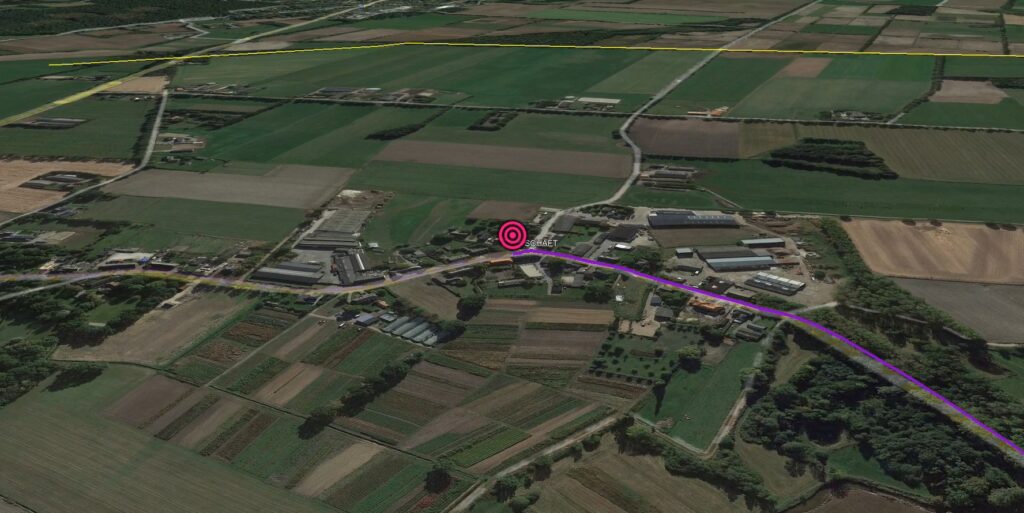
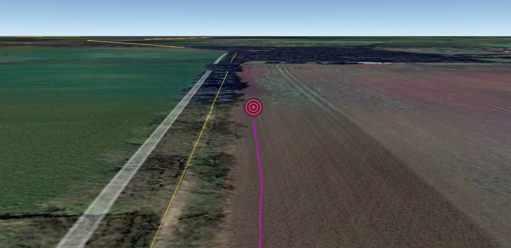
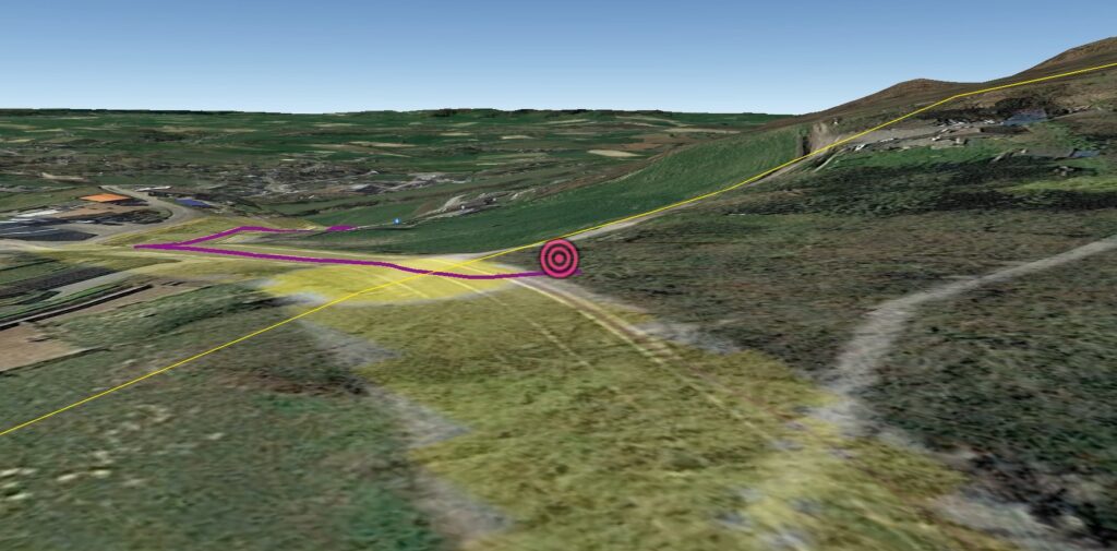
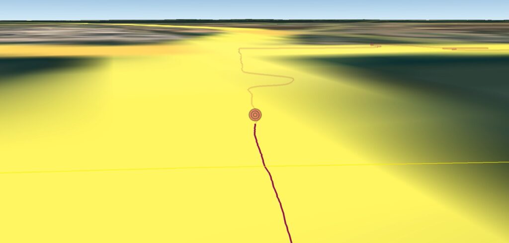
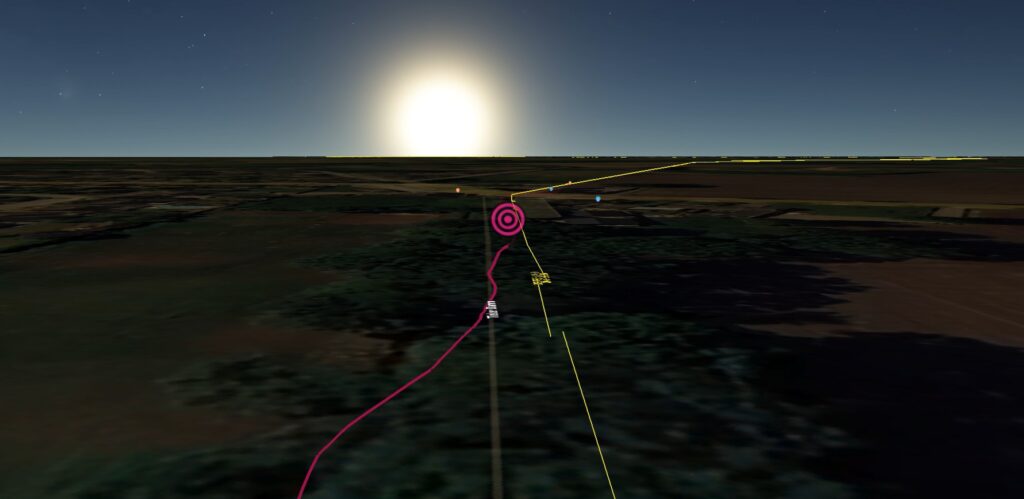
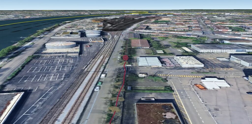
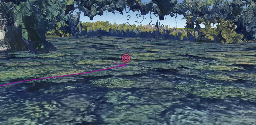
Screenshots depicting personal movement routes recorded during border explorations, overlaid onto satellite imagery via Google Earth. Yellow lines denote internationally recognized borders, while the traced paths document crossing, parallel movement, and near-border encounters.
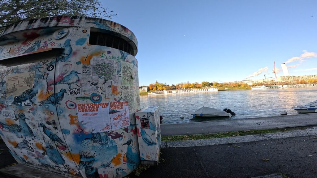
Tri-border zone (Germany-France-Switzerland). This location features a visual juxtaposition of perspectives of the tri-border region, and ground-level documentation filmed during site visits, offering an embodied counterpoint to remote-sensing imagery.
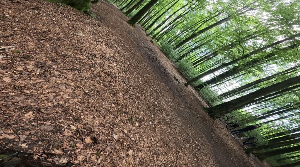
Tripoint region (Netherlands-Belgium-Germany). Another recorded site showing layered perspectives of a satellite image on the left highlights national boundaries and terrain layout, and a corresponding on-the-ground shot on the right captures immediate sensory experience and site-specific detail.


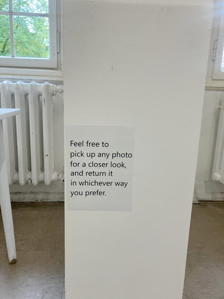
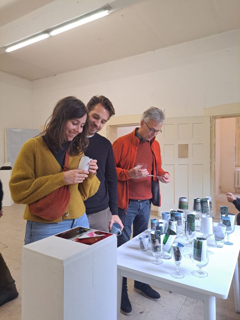
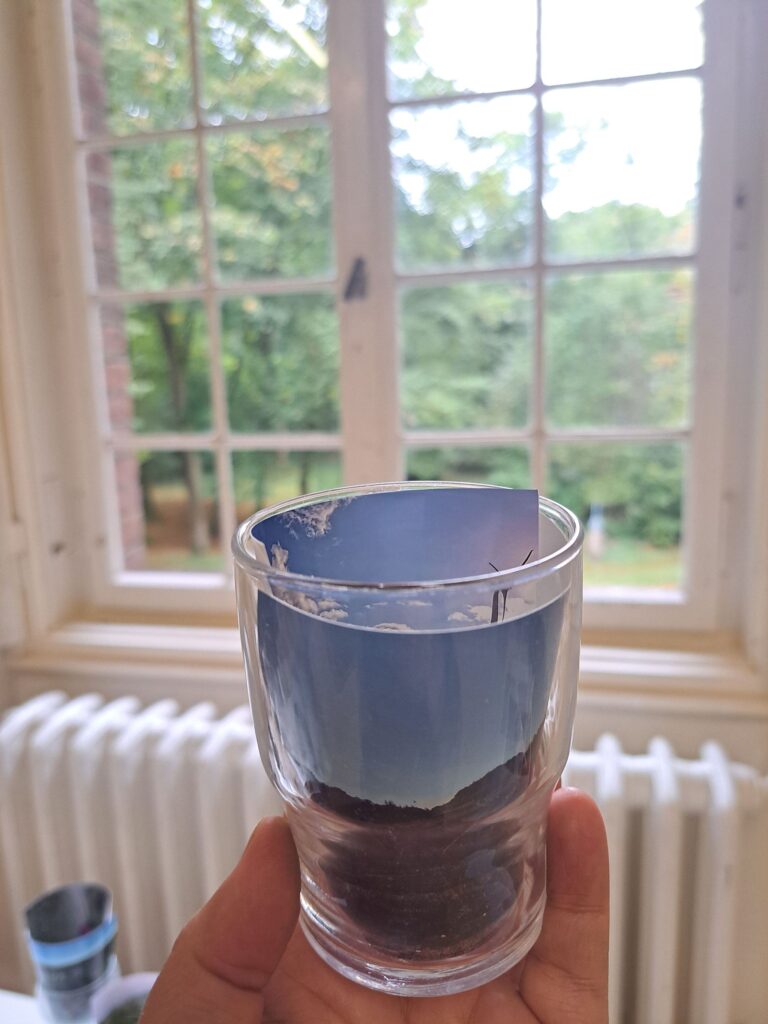
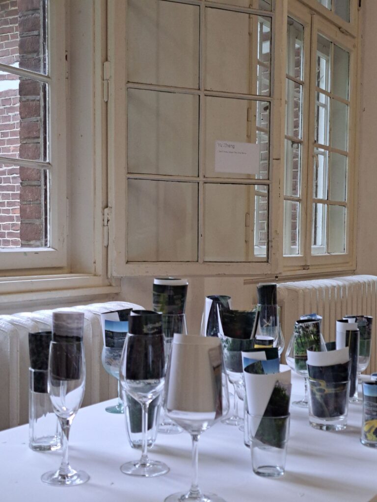
In October 2024, I undertook a two-week residency at AIR Rozehond in Bedburg-Hau, located near the Dutch-German border. During this period, I cycled along the border for approximately six hours each day, continuing to film and assemble material for the project. This residency concluded with a photography-based installation showcasing the work-in-progress.